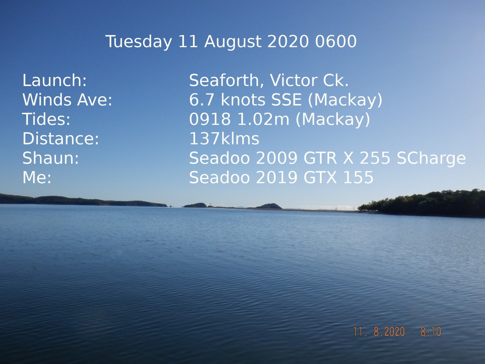
First time launch at Victor Ck ramp can be deceiving and lots of markers (thankfully). I was a bit early which gave me a chance to see boats go directly across the creek to the first marker. If you look at the feature photo that was taken just outside the ramp one would think just go straight out (not the case). Different tides might get you through some but maybe not all obstructions.
We had a 30klm trip out to the Sir James Smith Group. We started off with a small chop that become lumpier and lumpier. After about 12klms Shaun checked the wind at Hamilton Island weather station to find it blowing 20 knots. Turned back heading for the Brothers Islands (on the mainland north of Victor Ck ramp).
We snooped around that little group of small islands for a while.
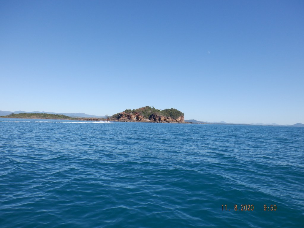
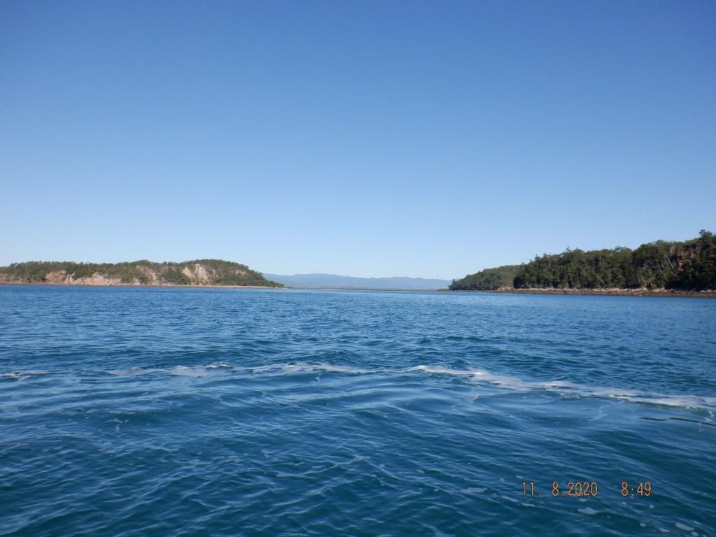
We made a straight run of 10-12klms in small chop to Cape Hillsborough.
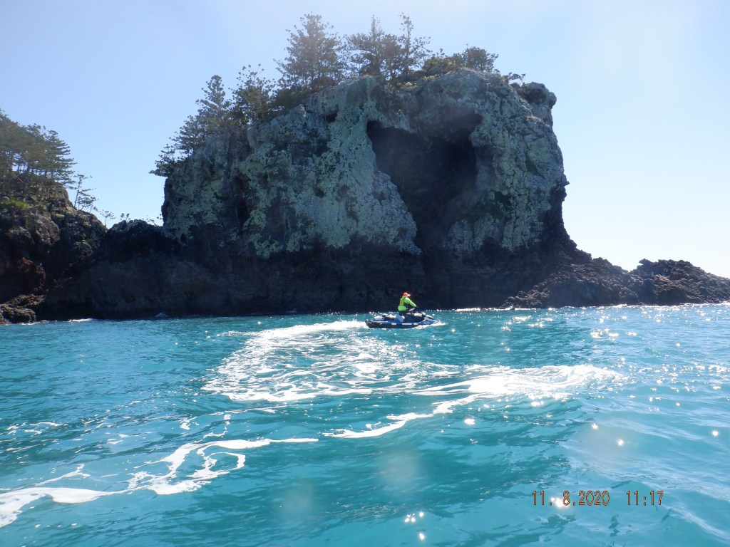
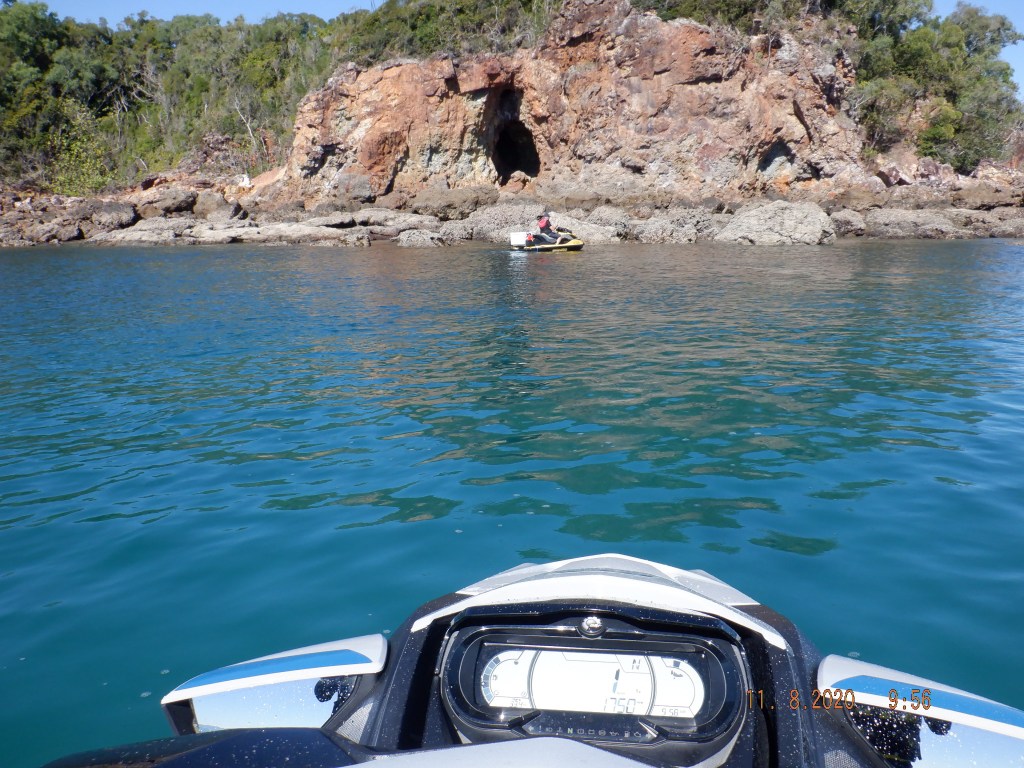
Just around the Cape we found this strange heart shaped cave.

These rocks are located at the northern end of the bay not too far around from the Cape. Shaun found a gap through and I followed. On the inner side of that outcrop I spotted a very unusual rock formation protruding upwards and dangerous looking, so I didn’t hang around.

Bottom right image is the formation I mentioned. We had a couple meters more of water than depicted above.
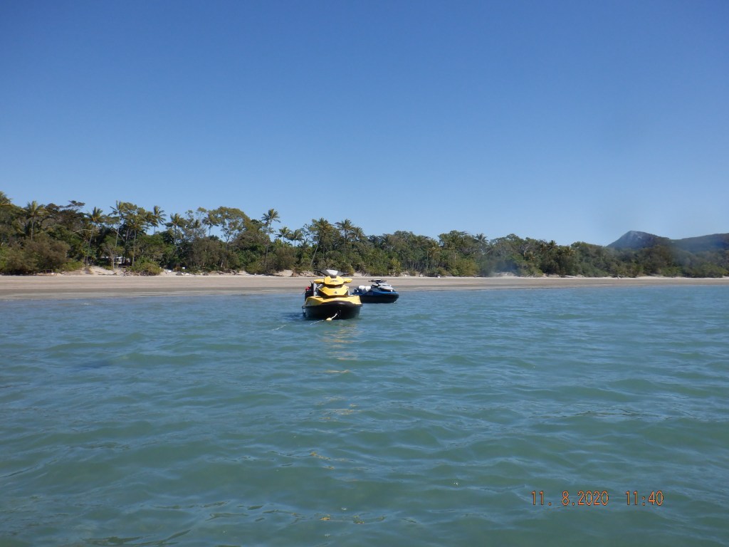
Andrews Point is where Cape Hillsborough Caravan Camping Ground and a Information Center is located and named as such. I have always thought this was Cape Hillsborough, but no The Cape itself is located at the northern end of the bay.
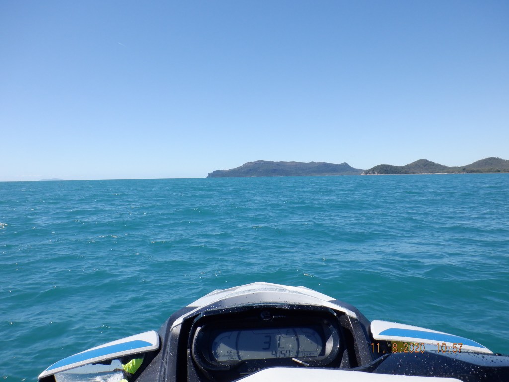
Think Wedge Island to the left with that causeway between the mainland.
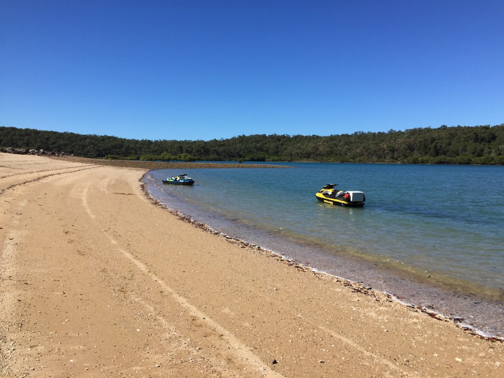
Now making how our way back to Victor Ck ramp doing a bit of a recon on the way. I have nicked named this ‘The Pines’ just north of the Cape.

Ball Bay bathing pool is right of photo (a netted off area to keep out stingers and larger nasties).
I think that is a boat ramp.. dingy being launched. A good mud 4WD would be handy or a tractor.
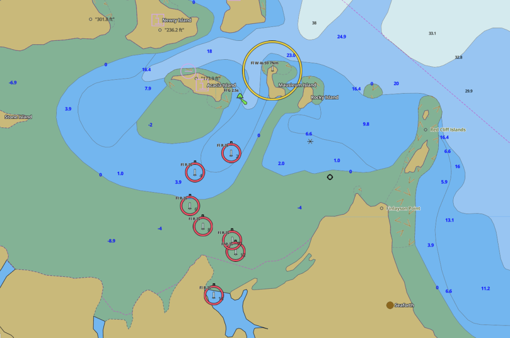
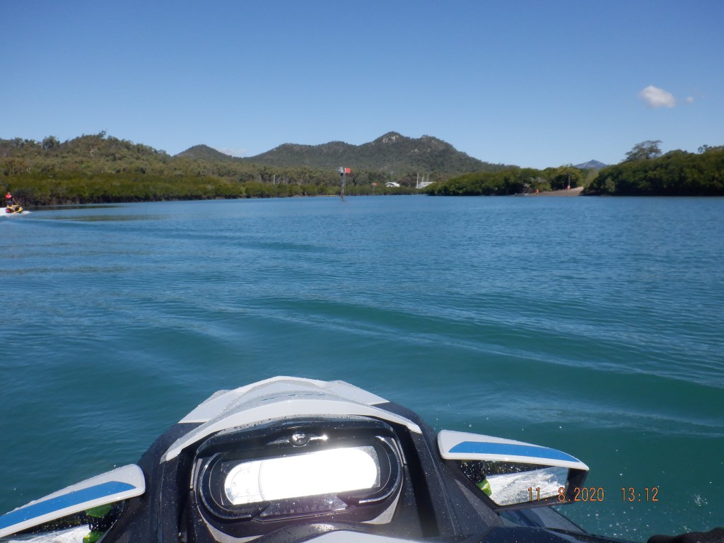
The above is a bit of a maze for first time users departing depending on the tide. Confusing even with a chart! Green marker simplifies finding bearings.
This was on our way out looking back in, the green marker is in the middle of that passage.
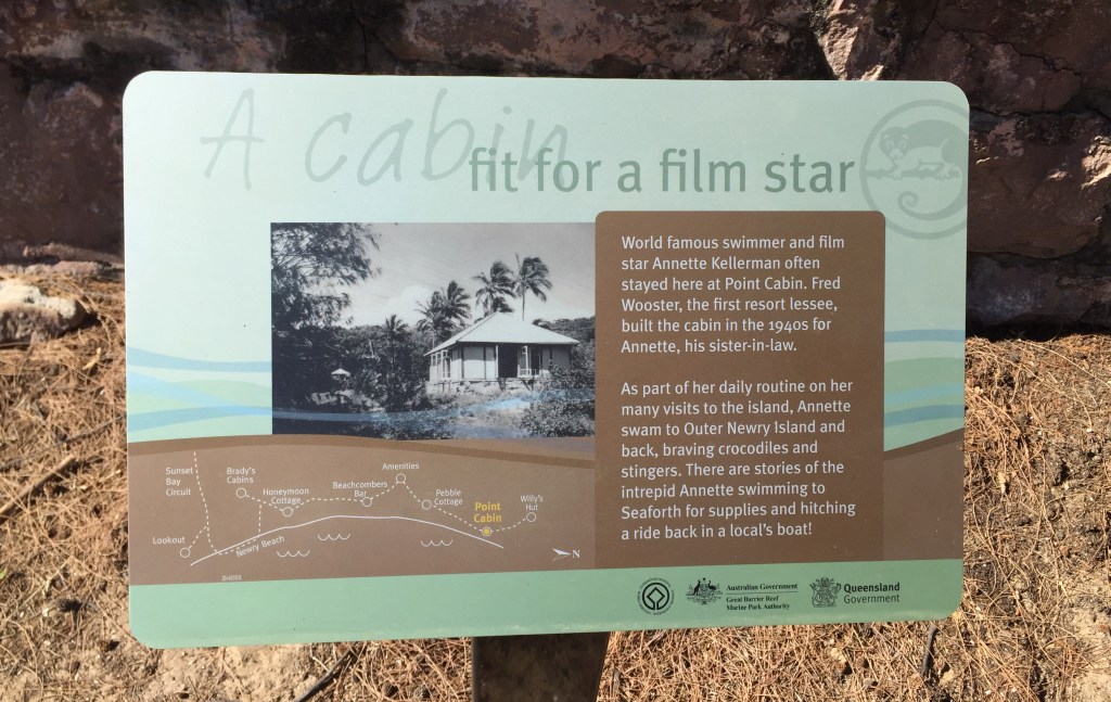
Shaun had been told a bit about this Newry Island so investigation proceeded.
Newry Island National Park
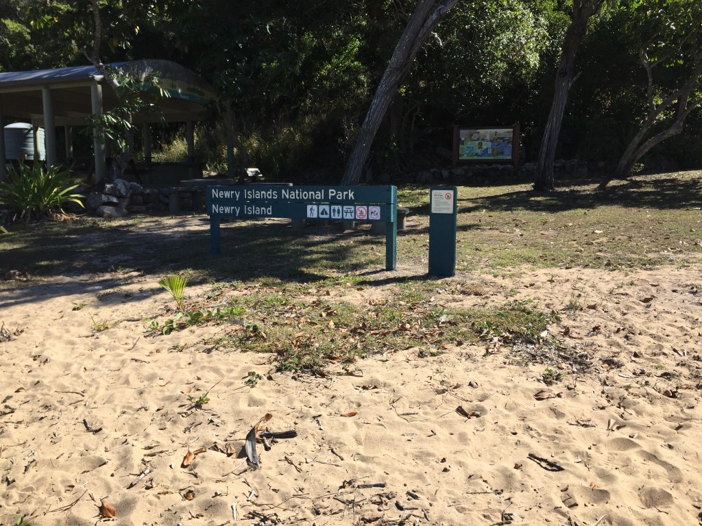
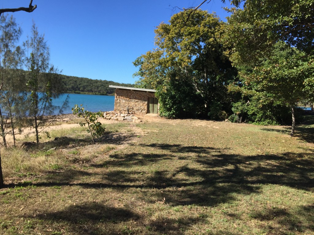
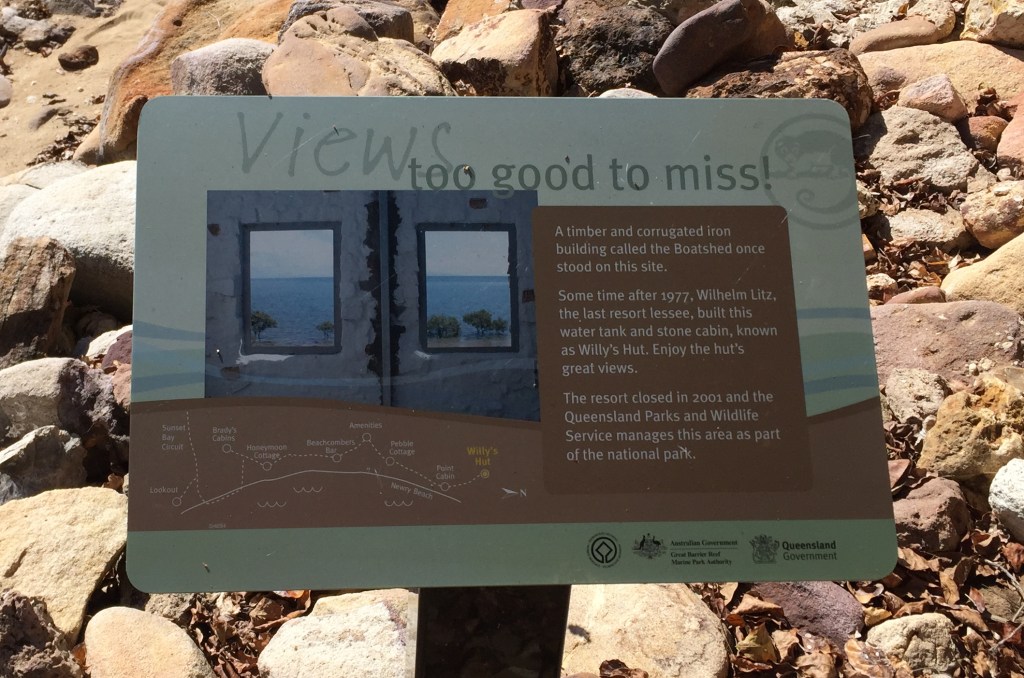
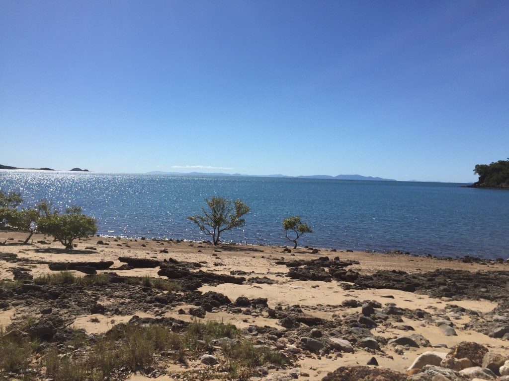
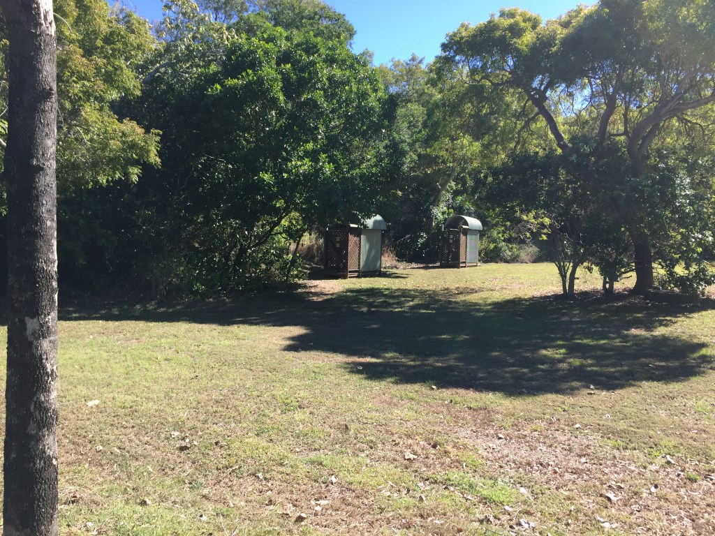
Surprised at what this island had to offer with overnight camping amenities and history. So close to mainland (could probably walk across at low tide if access was there).
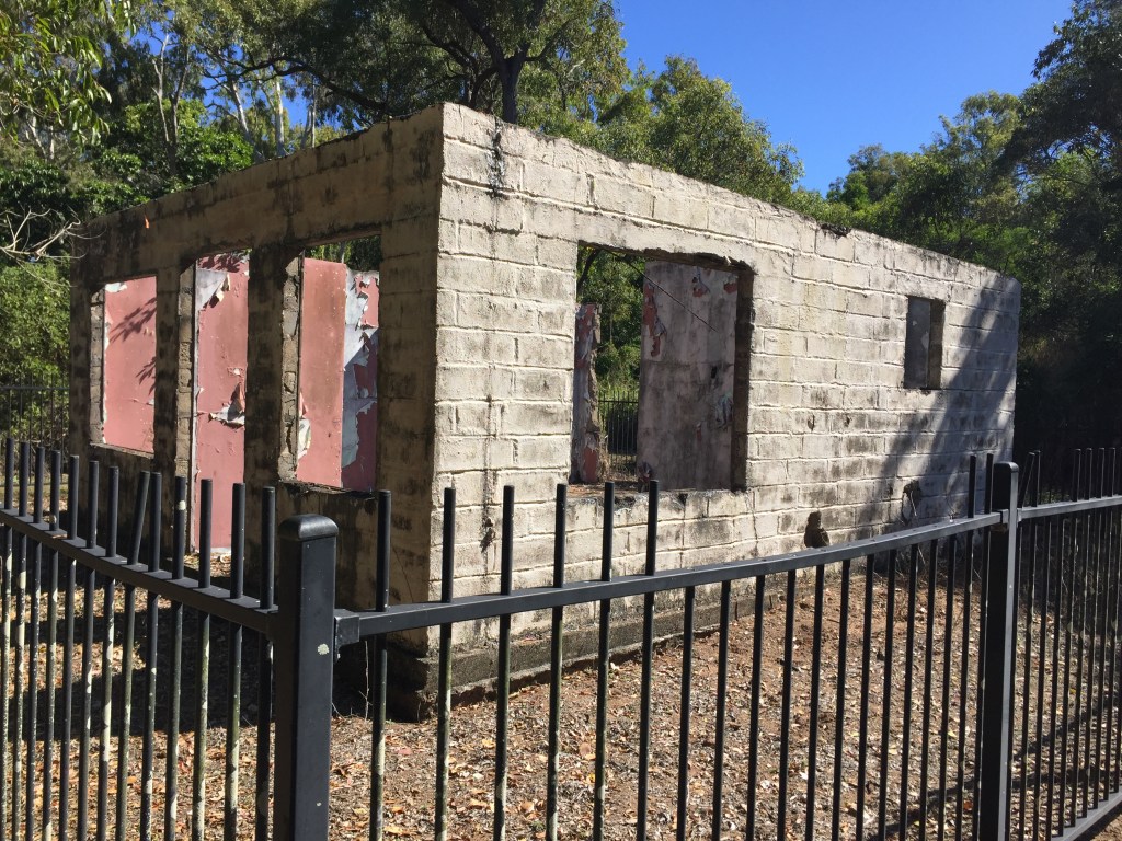
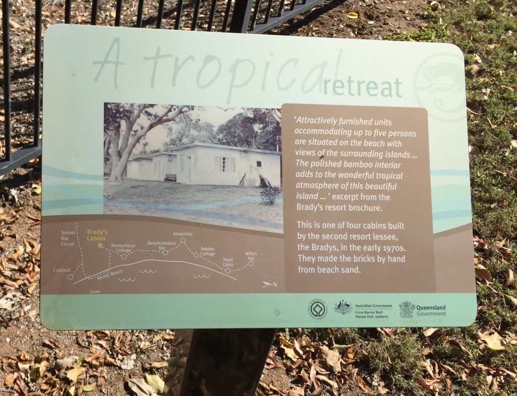
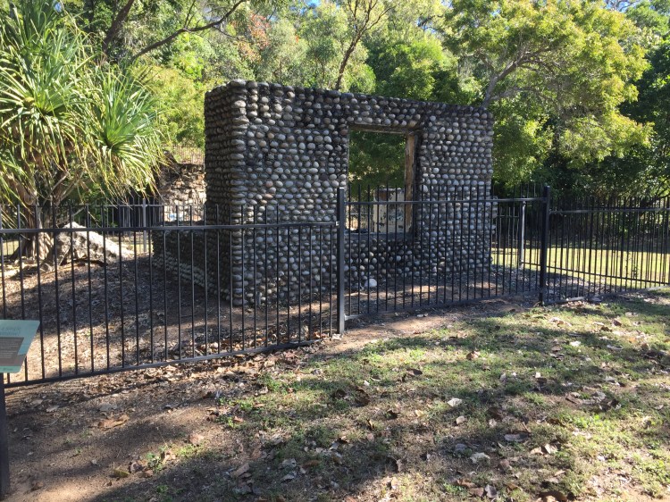

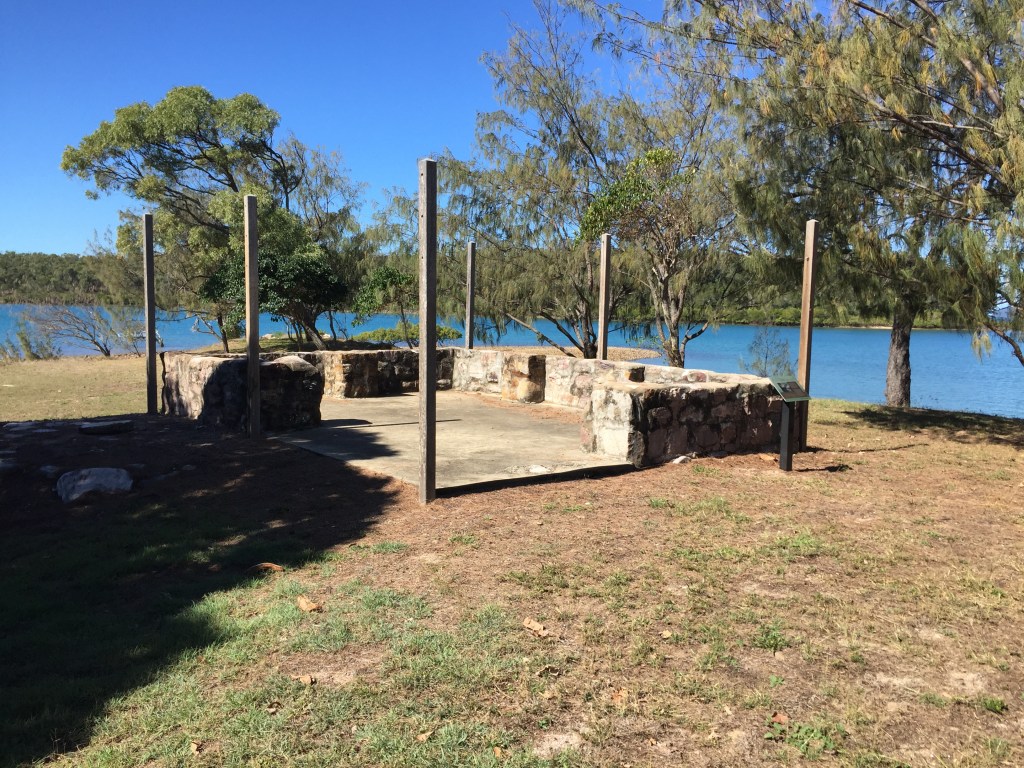
So that was Newry, a little history and a nice spot. An aborted trip doesn’t necessarily mean failure.
George

George you are becoming the modern version of the Leyland Brothers. Absolutely fantastic. Maybe increase size of images. Great work!!
Thank you will try larger pics on camera have the memory.