
Another bucket list item resolved Calder Island. I have one more Island and that means I have been to every island seen from the Mackay coast. Made it a bit more interesting doing a circuit.
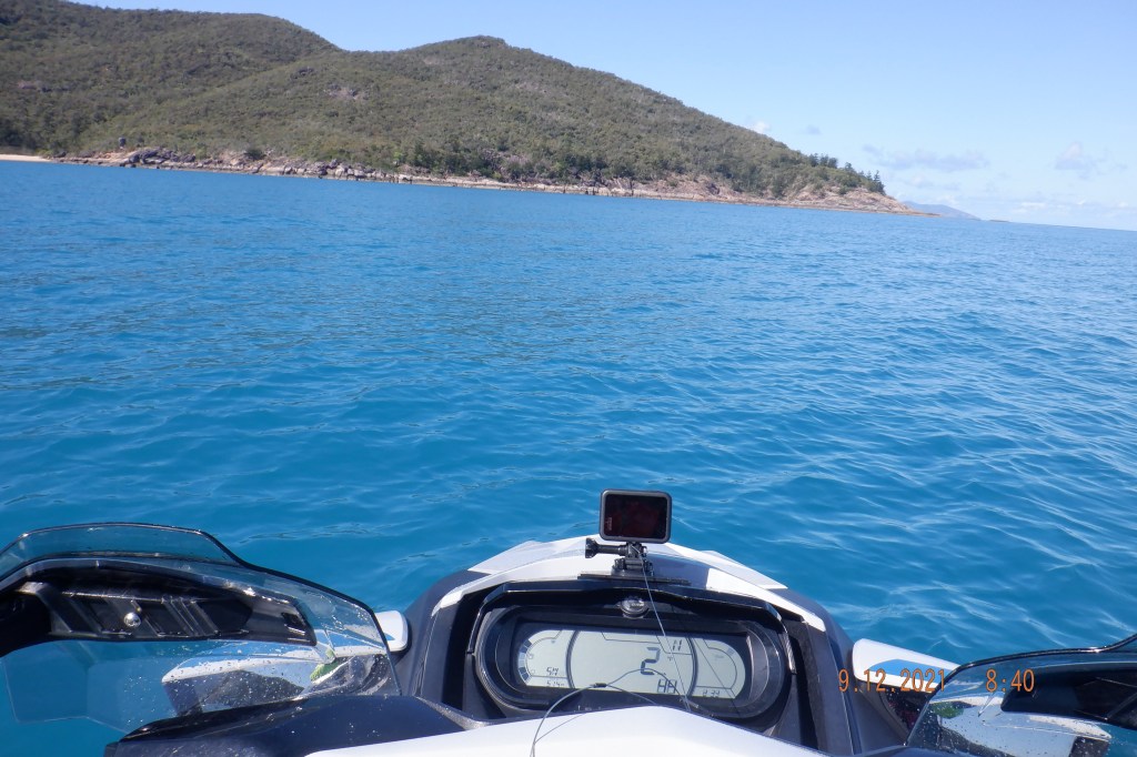
Leaving the Harbour with still an hour and a half to the bottom of the tide, need to be mindful. The wind sock at harbour entrance was laid against the post, not a breath and thinking be in for a beauty. The Keswick crossing didn’t fail to disappoint with its potholes and leveling out as I closed.

Speed varying 35-45kph arriving Egremont Passage 750 about a 40 minute run. Had a nosy around coral gardens on my way through.

Shot across the top of St Bees for Scawfell Island Refuge Bay a good stop over and kick off point to Calder, that was about a 30 minute run in a good sea. This would be the bottom of tide about now. Not real familiar with this bay so I stayed out a way, there was a dingy up on beach with a couple of kids with their dad.
After a spell I was preparing to start the next leg. Mental note trip meter and time is helpful thing to practice for me. The dingy pulls up, I know you he says. Turns out we run around together in the river 18 months ago on our skis. He tells me he and the boys camped the night in their boat.

We headed our own ways, me to Calder Island there is something about that first run to an Island for me. Excitement is part of it, what will I find another. This leg (Scawfell>Calder) was a casual 25 minute run with sea getting better by the minute.
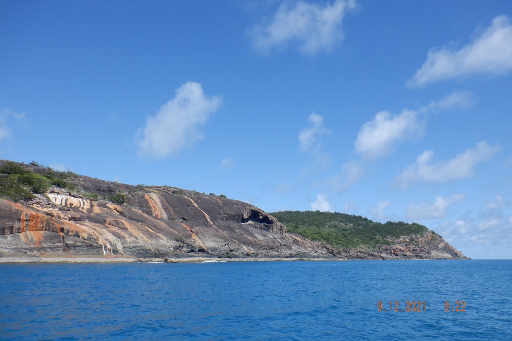
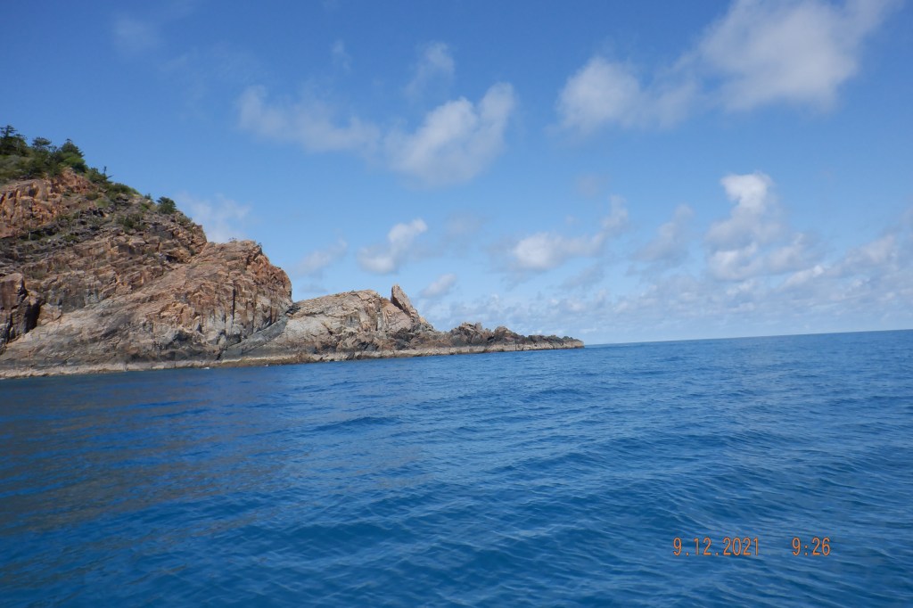
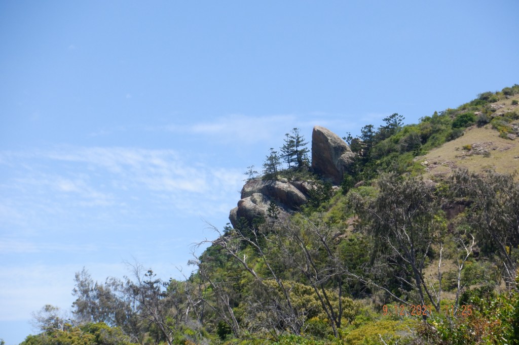
Heading along the east side searching its identity like these weeping rocks and cave near the end.
Northern end of Calder after turning the point this cliff face jumps out at you. Set the GoPro recording and completely forgetting I had the drone with me. I am hopeless with all of them anyway but keep trying. The Feature photo is the cliff in this area.
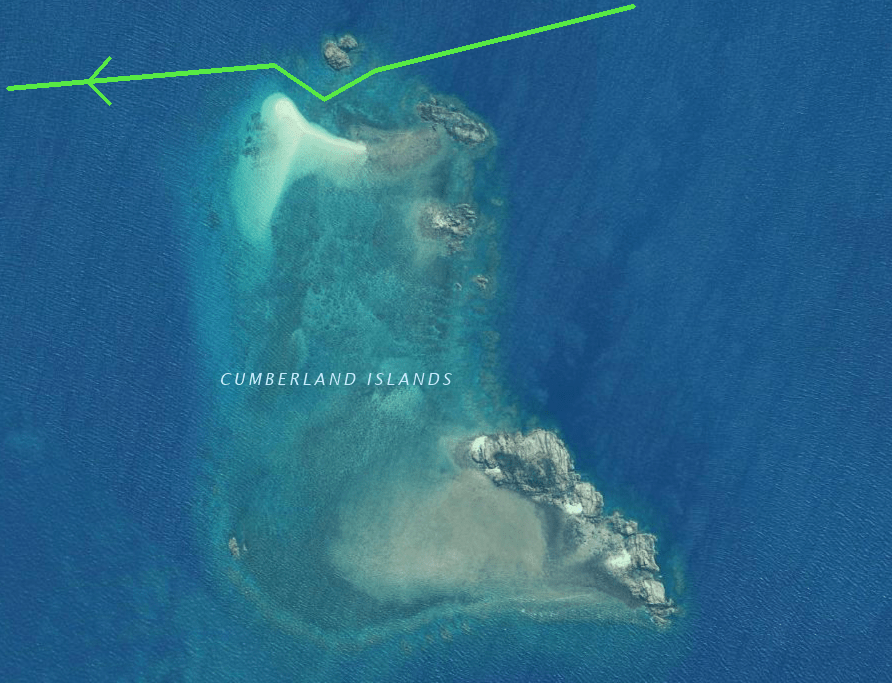
Silloth Rocks I traveled through a year ago with Ross going opposite direction to this day. Not sure sand bar could be getting bigger although we last crossed this area at a higher tide.

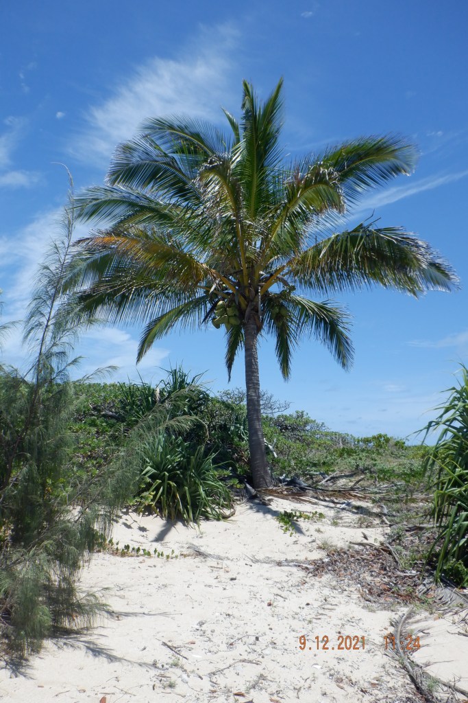
At the time I arrived at Cockermouth on the western side there wasn’t enough water for me to get into beach. So I pissed about packing drone away and what not. Looked around and a couple of rocks had gone under. So in I went the first landing for the day due tide times. Had some brunch and went for a walk around, boy it was hot in above high water mark.

Brampton had a couple of boats day visiting so I didn’t linger around. At the bottom of the passage I thought about refueling ski had 117ks on trip meter with 34ks to harbour. Thats 151ks I had ran it out at 155ks (in the past). Sea was dead flat verging on glass, so if it runs dry refueling wont be problem. Sure enough from about 15ks out of habour it starts to bounce up a bit doesn’t it and progressively gets worse. I would of managed mainly because I use a jiggle hose but still could of done without in chop. Waiting for it to run out, right up to flushing but nether did. 149ks on a tank.
Thanks for reading and hope you get something out of it.
George
