Combination of several short coastal creek runs due to poor weather over the last month.
Thursday 22 December: Jason, Mornê & Myself had decided on a McCready Ck run and I thought Slade Point boat ramp would be suitable. We First take a run to the north and end up in Bucasia Ck. We had some lumpy stuff in mainly a following sea. We had a very quite cruise up the creek. It is only 6 knots from Eimeo Pt across to Bucasia Beach and all waters south of that line.
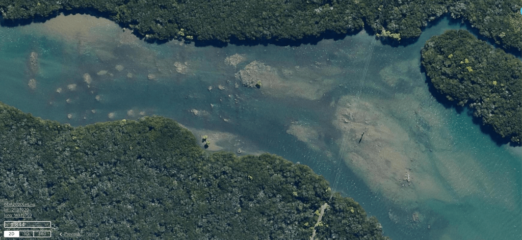
After a ride back head into it to McCready Ck mouth. Making our way up we travel under power lines that is nearly impassable at lower tide levels. Today tide at McCready Ck mouth at 0954 of 5.9M. We pass the Andergrove boat ramp and finish up over 5klms up from the ramp.
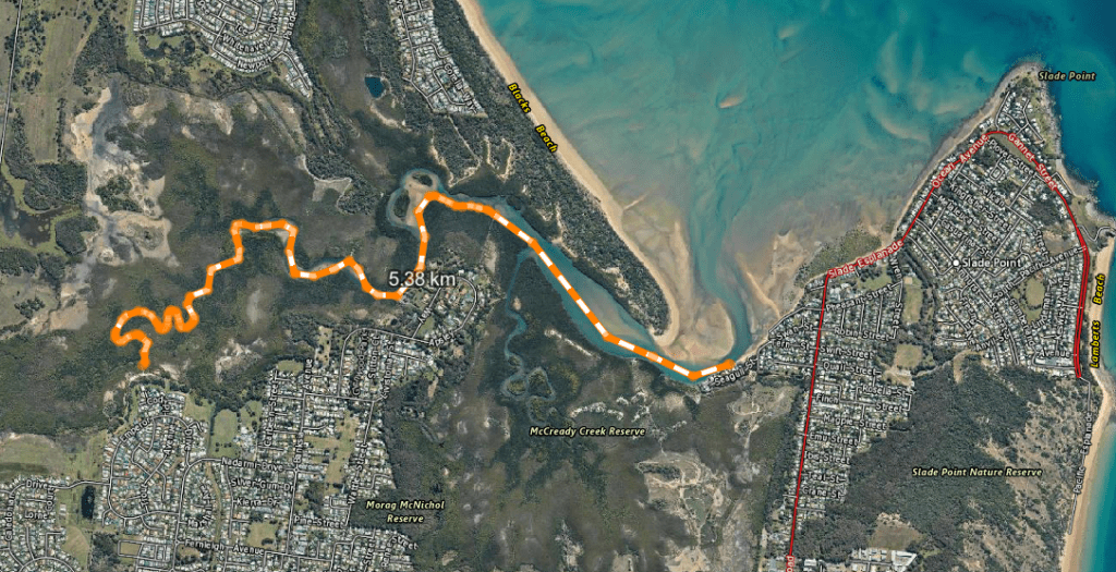
The power lines go over some scattered rocks the satellite image is taken at lower tide.
Slade Pt boat ramp is not a good ramp the area is very tide reliant. There is no were to tie up unless the the tide is down a little a beach can be used. On our retrieval the waves from the north would crash over the ramp. Making it difficult to load, not big waves but enough to move the trailer a couple of feet before getting ski on.
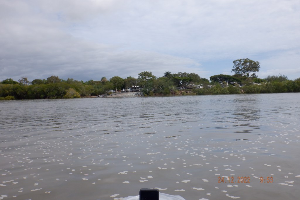
Saturday 24th December with Simon & Dale out of Pioneer River Mackay to explore up Bakers Ck. I had not planned or studied to much for this as it was only down the coast a bit. As we neared the area of Bakers Ck I spotted some sand banks that I had expected. Made our way through and around the head land to see a line of nice homes not shacks that I hear of at Bakers Ck. Penny drops this is McEwens Beach. I have missed the the turn off.

So we confide and shrug shoulders it doesn’t matter and go up short ways before turning around. We catch up with another ski Huet and decide to have a look up Lucinda Ck down near Hay Pt Dalrymple Bay.
We enter Louisa Ck an hour before the top of tide being at 1123 at 6.8M. Made it nearly 6klms up and seemed a clean run and the water not as muddy.

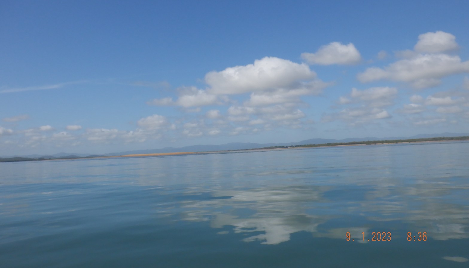
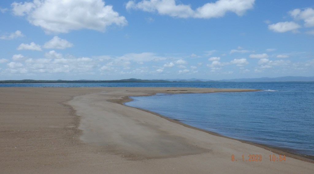
Sunday 8th January: Pioneer River at 1145 of 5.5M. Mornê wanted to clear the cob webs out of his ski and I mentioned this High Sands that I had encountered recently from a distance. We were keen to have a closer look and tide should be suitable and was perfect for our first explore. This horseshoe sand bar was so majestic on the inside the sand dropped away at 45 degrees and seemed like it was 2M in depth all over the inside.
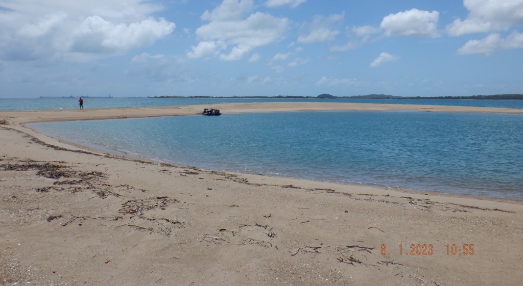
The tide at Bakers Ck a kilometer away was at 1140 of 6M we would of had about 5M. So 3M may not be deep enough ?
I imagine this would be a place to watch the tide and make sure you had enough water plus some. To avoid being stranded dry there is a lot of shallow water around for long distances. I am guessing at this stage but would say a minimum of 3.5M plus but need to experience more of the area to be sure.
With still plenty of tide we head of passing McEwens Beach, Dunrock and enter Sandy Creek. This unknown territory for us and you cant see anything in the water for the colour is like mud. We made it 8.3klms up stream only 3.3klms from the bridge that Bruce Hwy runs over before turning back.

