
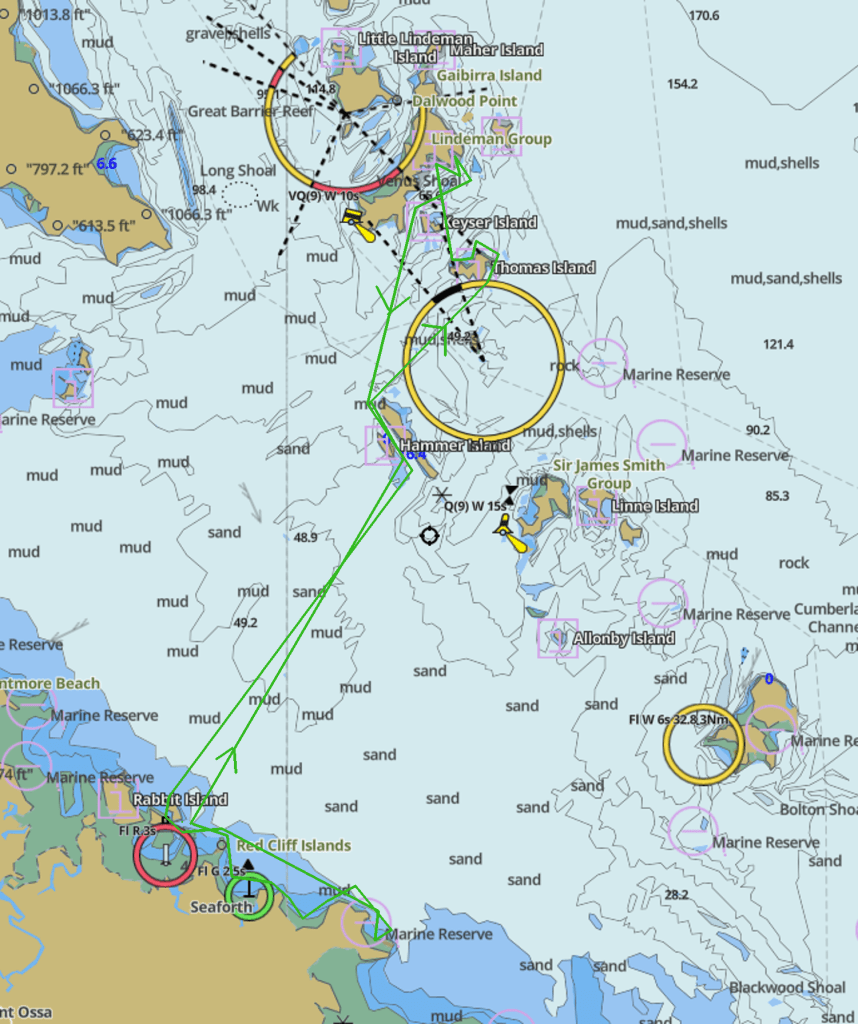
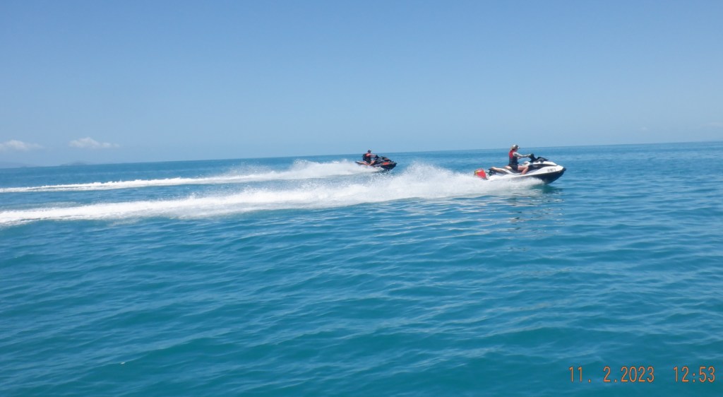
Sondra, Mornê and Myself going out of Seaforth over to Shaw Island to catch up with Rebbecca, Michael, Brad, Sarah and Harley coming out of Shut Harbour. We get out of the Creek and Estuary into open water by 720. Its looking good and flat making a heading for Hammer Island of the Anchor Isles. The crossing being 26klms open water we arrive 0750hrs cruising at 50kph.

We pull up in the passage between Hammer & Blacksmith Island that has Ladysmith on its southern end. We soon make our way through the north end of passage and head easterly to Thomas Island. This crossing of 10klms had a bit of wave happening only small of no consequence.

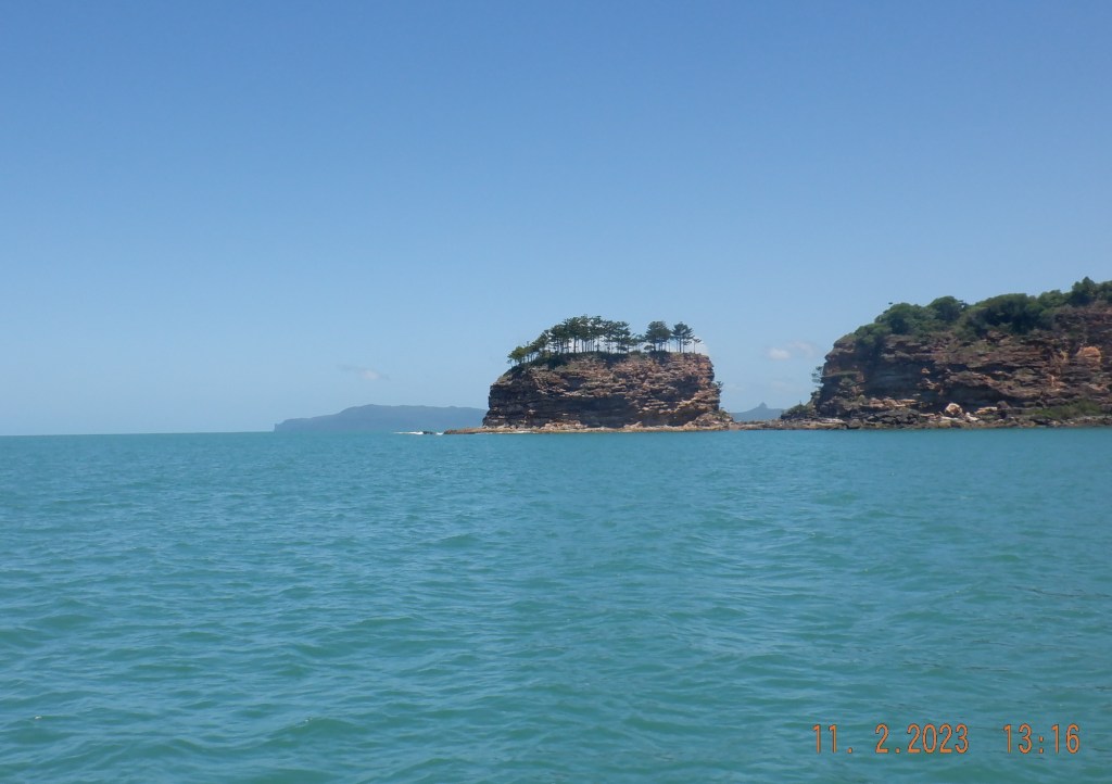
This bay on the SE end of Island. Sea Eagle Beach is the name of the beach. Should I assume the bay named same ? This seems to be a all tidal beach meaning there is always a passage in and out.
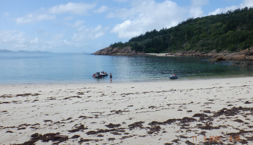
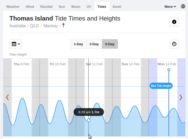
We landed this beach with 1.7M of tide with no sign of obstruction.
Sea Eagle Beach has great camping potential swings and all. That’s not a Pissonya tree behind Sondra is it ? A quick drone run and we off again around the eastern side passing Dead Dog Island. Check out the bays on the northern side including Naked Lady Bay that was stark (see video).

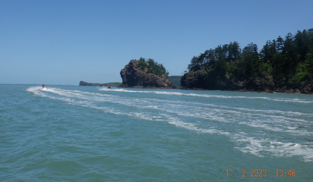
It was time to rendezvous with the Airlie crew. This 6klm crossing was a flat cruise to Shaw Island. We had seen there skis as we closed Shaw and bee lined to greet them and made for Queen Margrethe Bay. This wasn’t my first visit here it is one of those places that attracts you from the start. Something telling you it has more to offer without showing anything upfront.
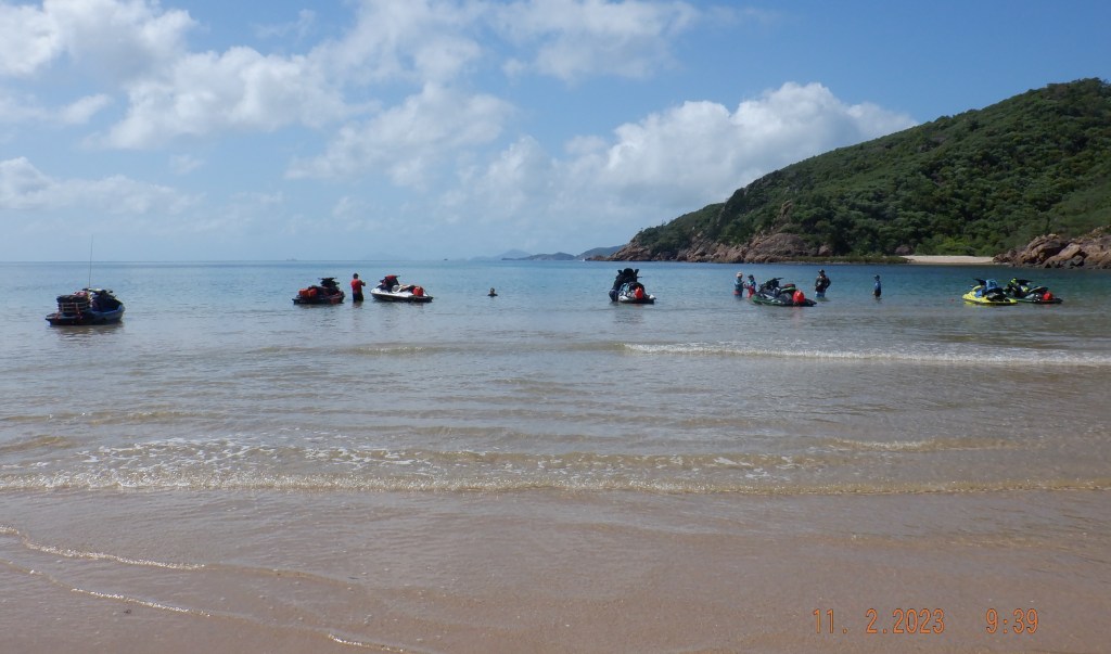
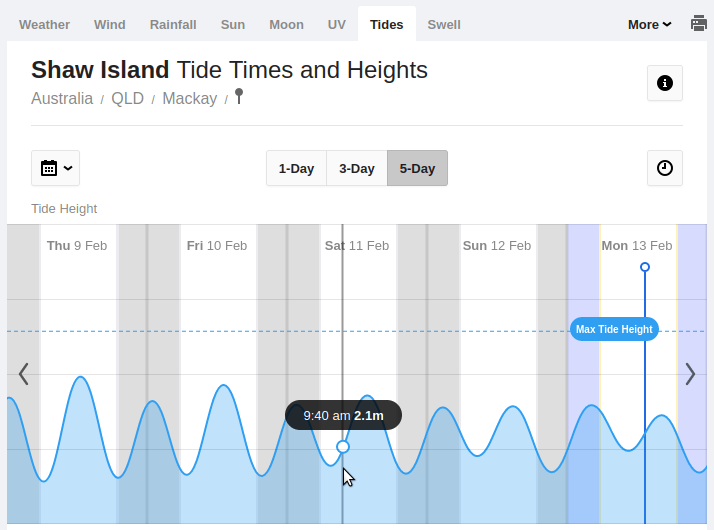
We landed this beach with 2.1M of tide with a clear run. There is reef coming out from the peninsulas but south of center there is a wide sand channel that is clear.
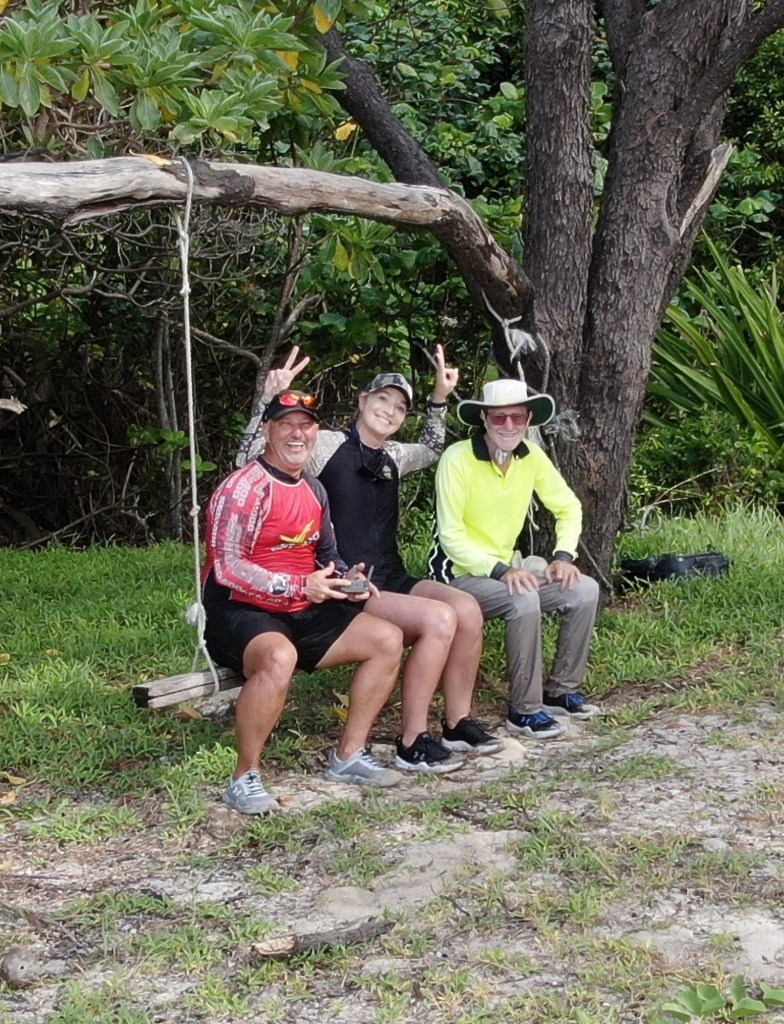
Throw anchor, intros and chinwag out in the water then a day camp under the trees was perfect for snacks and drinks.

The Airlie crew were going back up the north to Maher Island to investigate Phantom Cave. Rebecca put together this amazing video. Thank you Rebecca.
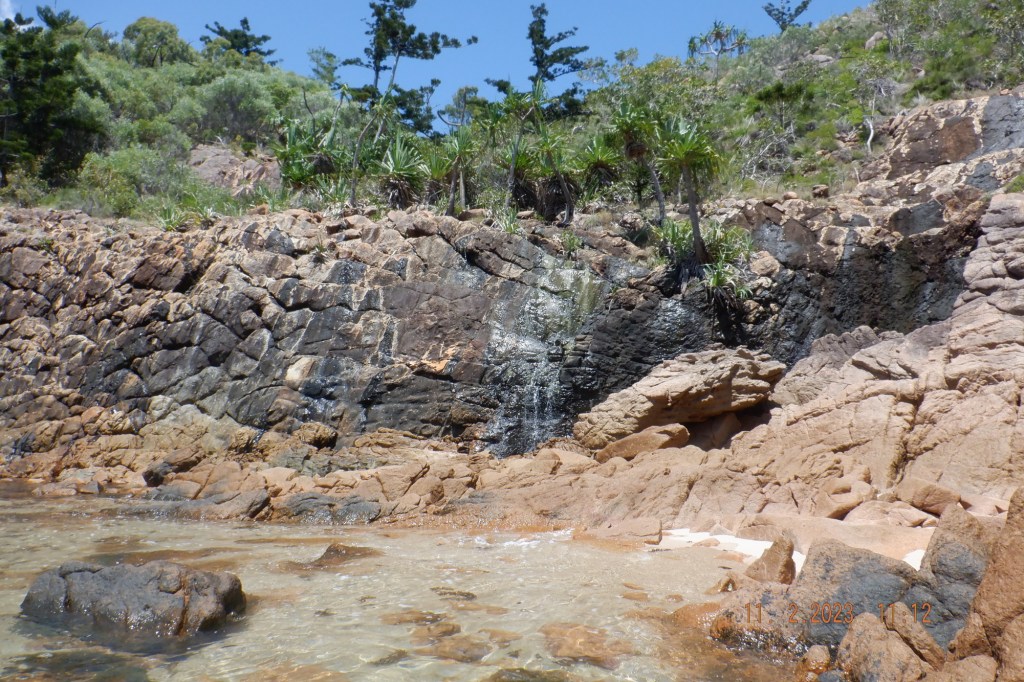
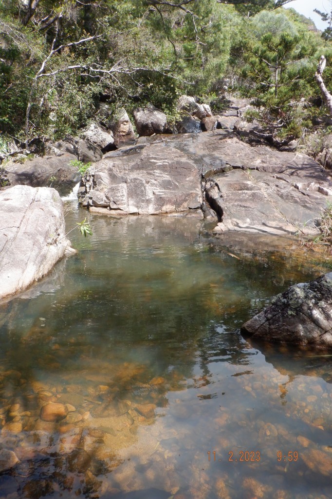
I noticed this little waterfall. This the first one for me to find on the islands and I had been looking for them.
I detached myself from the group knowing that creek bed I walked up a while ago in the dry season would not be so dry. I took off on me own taking care of my footing and then arse up I go and on a down hill fall on boulders don’t know how but didn’t get a scratch sore knee and back cause I landed mainly on my back. I was a little shaken by it for while.
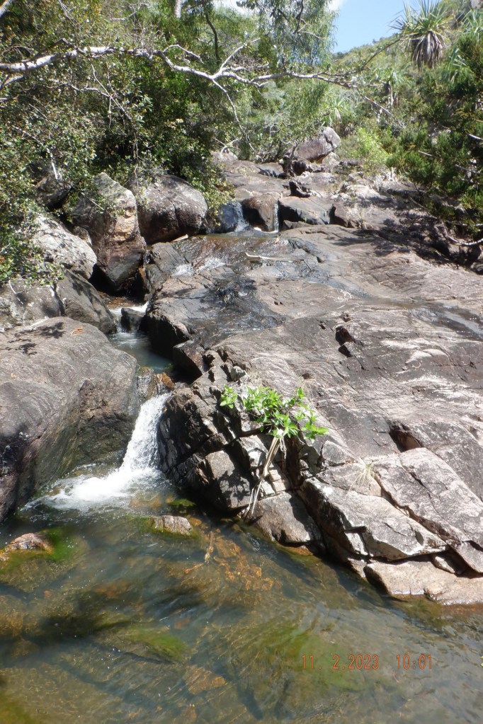
Realising my bifocal glasses were the problem causing me to misplace my foot, so removed them and continued. Wasn’t long before being rewarded with this water running into a pond big enough to bath in.
Mornê has put together this Awesome video. Thanks Mornê
We were heading back early so we said our goodbyes and headed home back through the Anchor Isles. We could of made a beeline from the bottom of Shaw to say Outer Newry Island that is the entrance to Victor Creek and saved 3klms.
After some discussion we were comfortable with this extra 3klms. This reduces a 39klm open run down to 26klm open run for sake 3klms. Direct route being 39klms. Via Islands being 42klms.
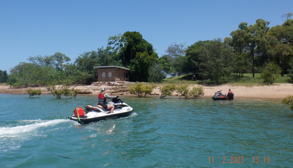
Closing Outer Newry Island its decided to duck around the back and pass Newry Island that has a bit of history to it. ( https://jetskinthqld.com/2020/08/20/seaforth-cave-island-and-hillsborough/ )
We now have time to kill so a 10klm run down to Cape Hillsborough is happening. The breeze has picked up slightly with small waves heading into them although not directly.

Have a bit of a look around the beach is still dirty from the big rains of late. We had a look at the pool on the headland.
I fuel up at this point after 135klms might be pushing it to get back on the one tank (60lts). Cruised back up to the entrance to creek.

We get back to the ramp at 1445hrs with 150klms on trip meter. Great day out thank you all involved.
