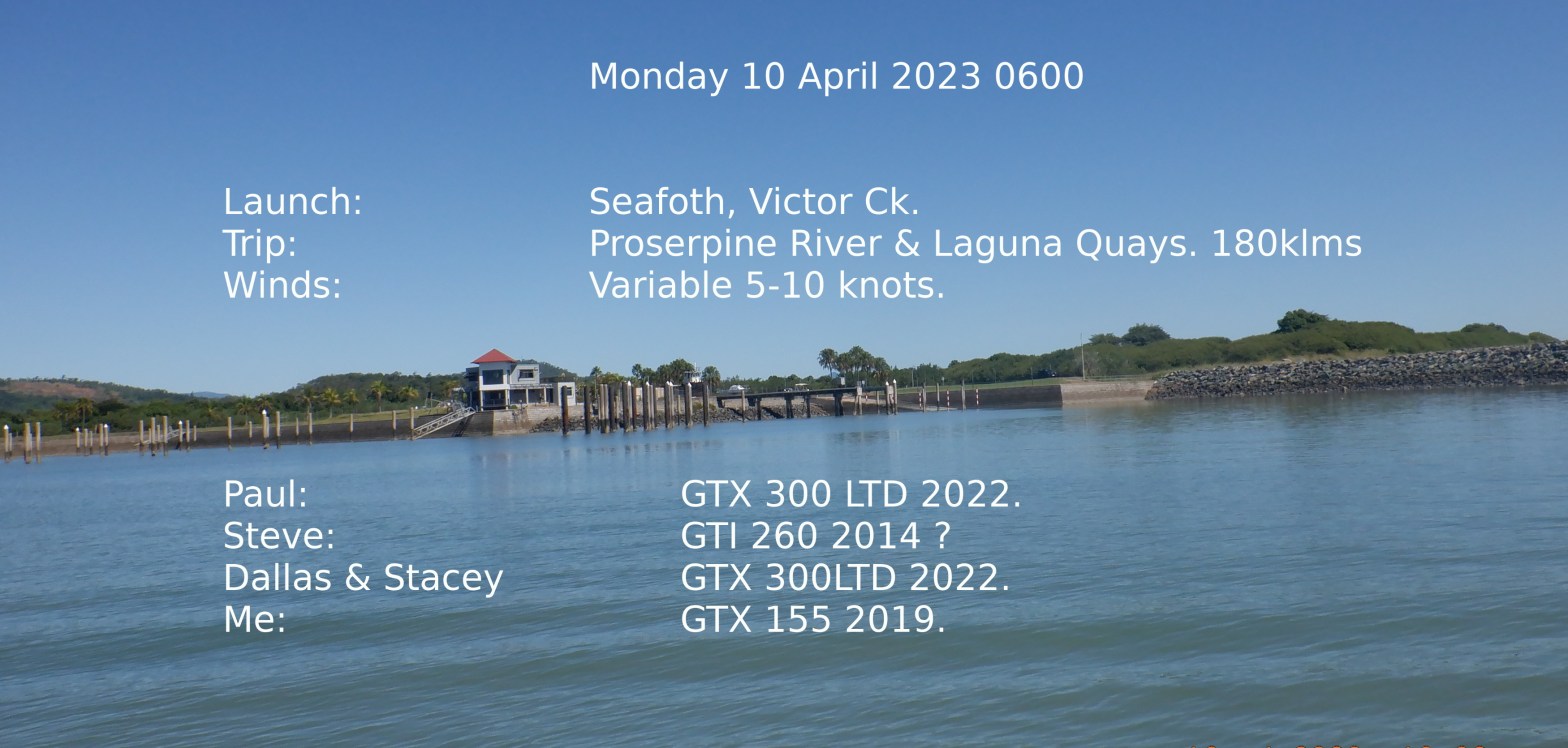
Arrived Victor Ck, Seaforth at 535 and parked out the way of car park to rig up for launch and waiting on the others. I walk down to check out the ramp and there is Paul & Steve waiting on me on a busy jetty and Dallas and Stacey are launching. Forgot to mention to them the part about waiting in car park. Dallas and Stacey are running over to Thomas Island with us then doing their own thing a bit of fishing/diving ?
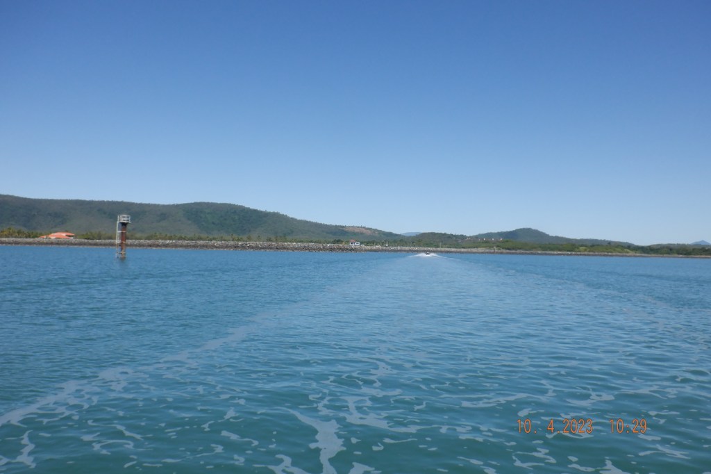
So we get away a bit after 0600 and get through Creek and Estuary out to the open water that’s not flat but OK.
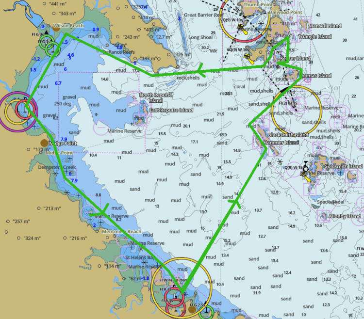
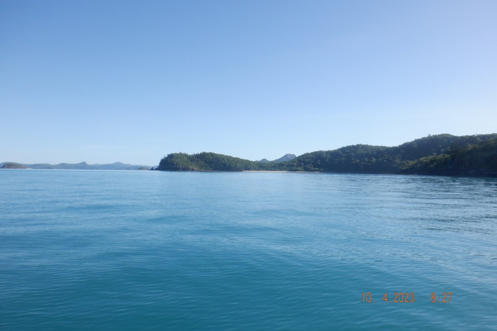
Heading straight for the Anchor Isles that seems to becoming a normal passage heading for Lindeman Group. This photo taken not that far out of The Anchor Isles shows Cape Conway out the back to right and above Dallas’s head is The Repulse Group that is our destination on return leg. Arriving The Anchor Isles and saunter up the passage and out the other end and take a right to head east for Thomas Island.

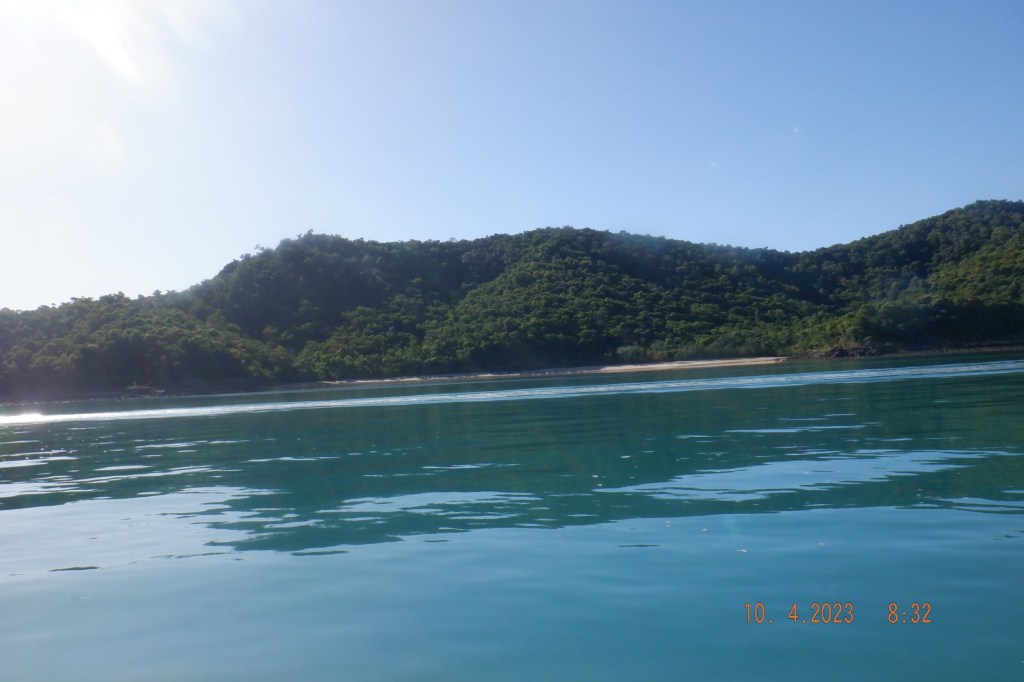
Water is flattening that seems to be the norm in this area so far. We pull into Eagle Beach in a neat little bay. Have a bit of a chin wag say our goodbyes to to Dallas and Stacey and move on.

My intention was to visit Keyser Island but after leaving Thomas and rounding Dead Dog Island I bee lined it for Queen Margaret bay on Shaw island forgetting Keyser. Then to add to it I went straight past the bay and wasn’t until around the the ford of that bay and looking at Maher Island I realised I over shot or went to sleep at the helm just soaking up the ride.

In the video you will see us making straight at the bay. So readjustment of plan was in order the beauty of carrying extra fuel. Well take a look at Phantom Cave run around the bottom of Lindeman and up the west side and check out a couple of bays there.

This Coconut Bay seemed inviting so we ventured in. Closer to the beach becoming a bit reefy so we didn’t push it although tide was on the rise and save enough to have a go but a lot of discoveries ahead of us yet.
I hadn’t visited the west side of Lindeman before so we poked in and around a bit ended up off of Little Lindeman Island a lot of shallow ground and bombies between these Islands.
We have now made the crossing to Cape Conway and heading for Conway Beach area to get some headings/bearings into the Proserpine River. I believe the body of water south Conway Range can be a bit disturbed at time with stand up waves. We ran into as slight westerly after rounding the cape that become very choppy and a little confused water that abated as we got deeper into the bay and closer to shore. From Cape Conway I am winging it and all new discovery for me down to Midge Pt. Coming into the mainland can be challenging to find your way in at times.
This area is very shallow for a long way out and the day we had was very dirty water. Eventually found the river markers and went into the mouth. Was intending to try and get to the boat ramp not far up river. There was nothing to like about the area this day.
Under a meter at times and the water was like mud so we bailed on going any further. Had a refuel from jerry’s we had covered over a 100ks. Surprising Pauls GTX 300 had not had fuel alarm go off and we had. Shows riding at sedate pace it didn’t gusle fuel. Mindful of crocodiles without being concerned the immediate threat was the depth and vision.

Deepwater Point marked on that image above. More chance of breaking your nose than drowning. Gently making our way out of Proserpine River to find some depth and head down to Laguna Quays. On entering marina depth went from 2.7M – 0.7M it seems the whole mariner has silted up.
Plenty of markers to show the way although maybe a bit out dated with sand shifts or no dredging to the mariner entrance

Strangely enough there were people on the breakwater. The area is blocked off by road with fences so not sure about that. A small dingy was being launched on the ramp also ?
Just another waste sitting around deserted like the many resorts.
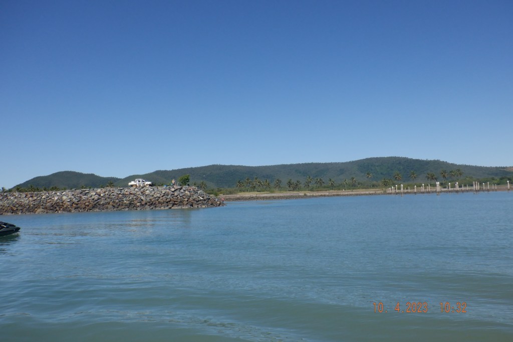
Midge Pt boat ramp was our next way point. Just north of it is a low peninsula/Island that looks to have causeway at low water. At first I thought to be an the old boat ramp but that is were they built the new one Jimmy’s Rocks.

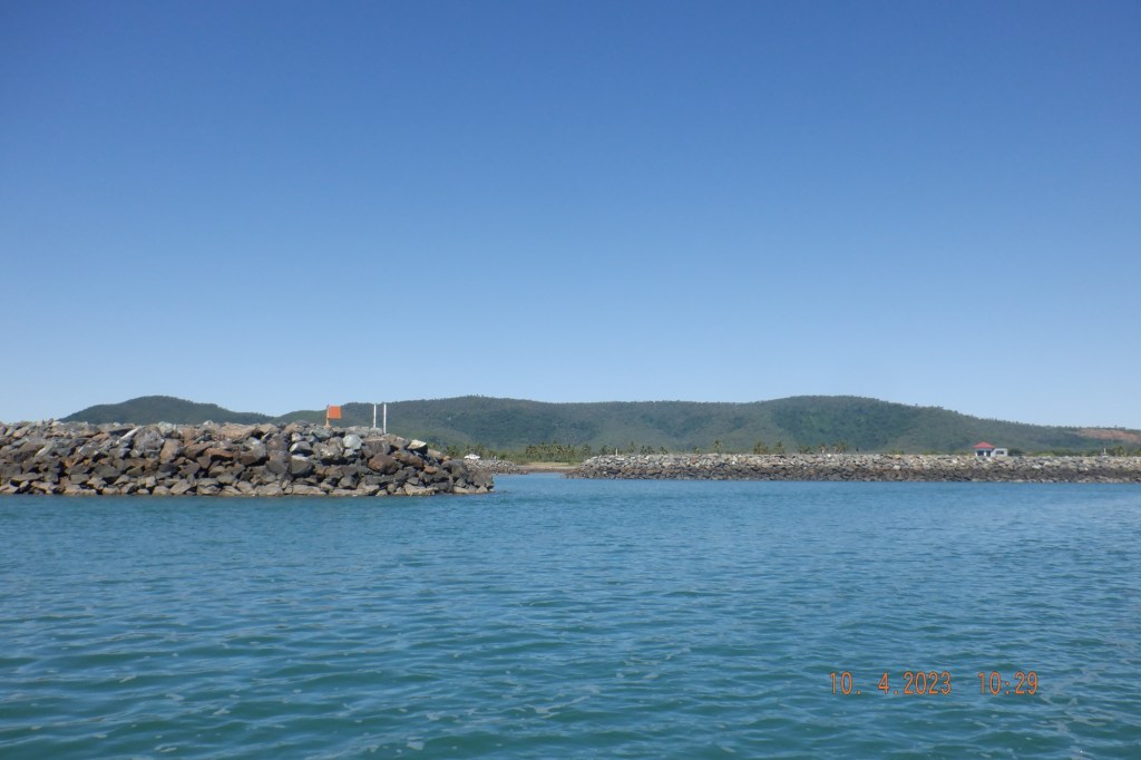
After passing Midge Pt we decided to head out a bit and go for Inner Newry Island rather than stay close to shore with all the rocks in this area south of Midge Pt to Victor Ck. At inner Newry it was a little populated so we called it a day and headed for the boat ramp out of the water before noon the car park was over flowing with cars parked on both sides of the road down past the boat yard there.
It was a great day in a kind sea and good company thanks guys for joining me on this adventure. I think Captain Cook named Repulse Bay for a reason.