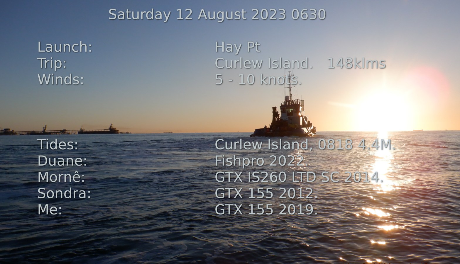
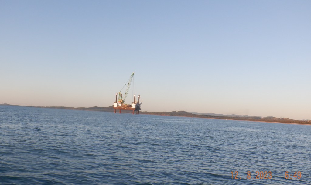
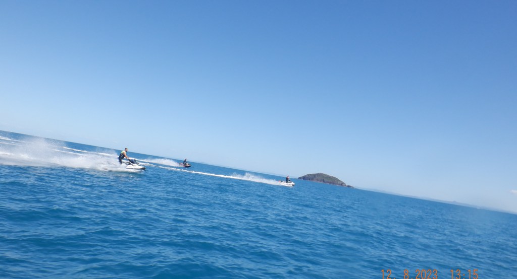
Hay Pt Ramp is easy enough with a bit of water got away just after 630 Sondra, Duane, Mornê & myself the crew. Make our way out of Harbour and head south down the coast and pass some sought of work rig/platform sitting outside Half Tide Bay. Heading for Irving Island just out from Cape Palmerston.
Not that familiar this part of the coast I had a bit head scratching. Not that there was any danger of getting lost. We had to hit the Cape one way or another. That we did after a bit of whale action.

Come across this strange whale standing on its head with its tail in the air. Don’t know whats going on some say its sleeping/resting and some suggest its feeding a calf ? Seems to be known as tail sailing. It submerged disappeared then reappeared behind me and done the tail sail thing again for a while. From a distance it looked like a boat with persons standing either end of it. Apparently rare to see.

Leaving the Cape and whale behind us we continue on a flattish sea with a little lump that’s comfortable enough. Curlew Island was new for all the crew we had heard a little and had some expectations. A couple of waterholes to be found a lot of debris washed up on beaches and of course the need to go because it is there. There are ideas of a Percy Group run and this or Digby Island may well be a leg of that journey.

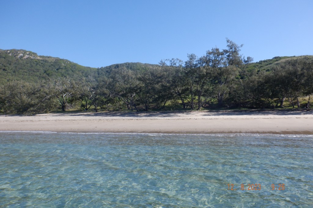
We come to our first bay on the WSW of Curlew. As much as I research I cannot find a name for it so WSW Bay it is. Nice little bay there was easy enough access for beach anchoring. We just done a drive by for a look.
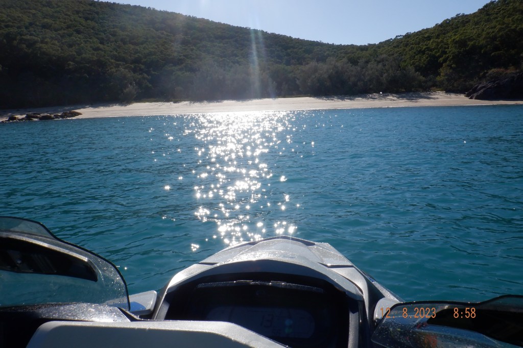
Moving around the southern end of the island there is another deeper nice bay well call SW Bay that we give another drive by.

This SW Bay is a beaut and will get more than a glance next time seemed to be all tide anchoring but will need to be confirmed.
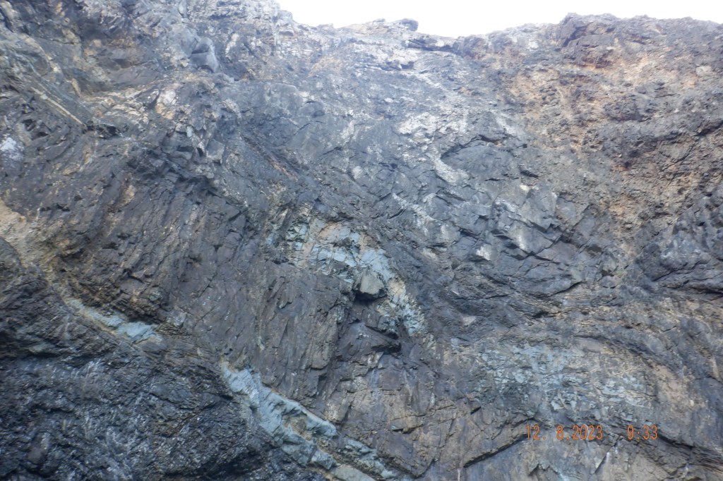
Mornê had earmarked a spot that needed investigating from the maps and charts that could of revealed a cave. He was close but found a couple of holes instead. Thinking of nick naming them Mornê’s Holes but rather say Blue Holes ? Character of the rocks on all the islands continues to throw something different every now and then.
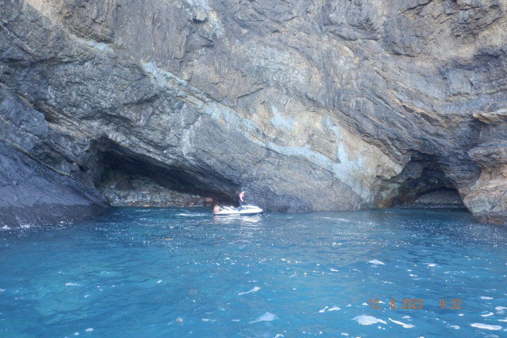
Shear face above the holes was pretty good. Shame I wasn’t able to photograph properly in one shot. You may of worked it out I am not a camera mans backside.
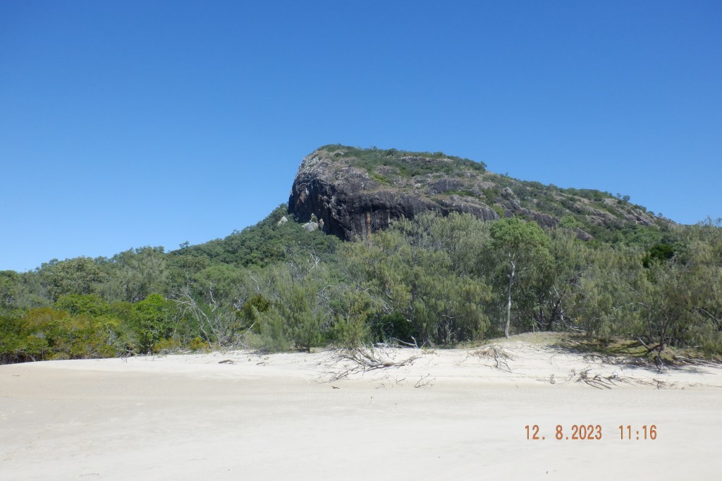
Around the SE corner we come to Davidson Bay on the eastern side. We anchor here and go for some exercise up a couple of sand dunes. To gain a terrific view.
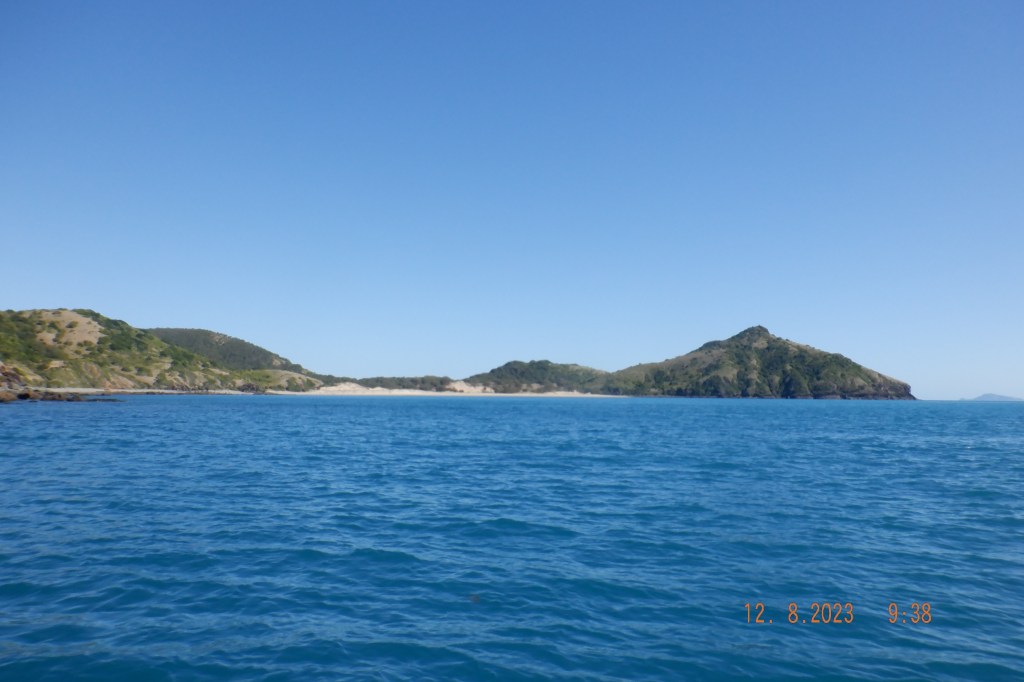
From the dune I believed we could see the Percy Group. In truth they are behind those islands Treble and Bluff. The small islands visible out the back are a small group just north of Percy’s.
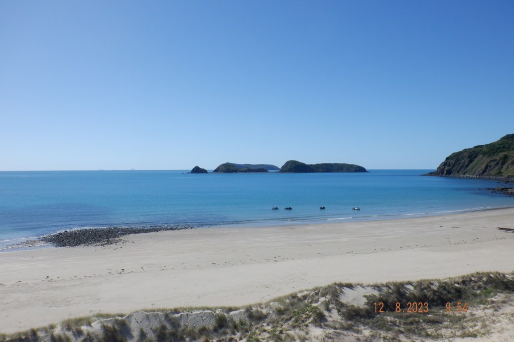
Looking to the north are the Beverly Group. Standing on this sand dune I was convinced that we should of spotted a descent internal body of water. The area didn’t look like a great catchment but it had a descent basin ? Believe we missed it and worth another look.
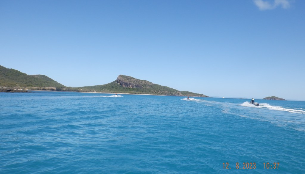
Back at the skis we spot a few small reef sharks in shin deep water near beach that hung around a while. Going around the northern head of curlew and west to a nice big bay.
You would think these Bay’s and prominent Headlands and Bluffs would be named. After hours of research I can hardly find a thing. As presumptuous as it might come across I am going to give them a nick name [ * ] if only for our own reference.

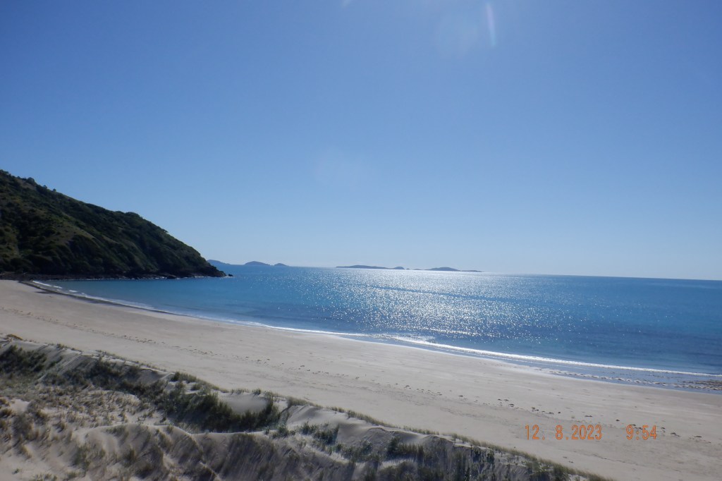
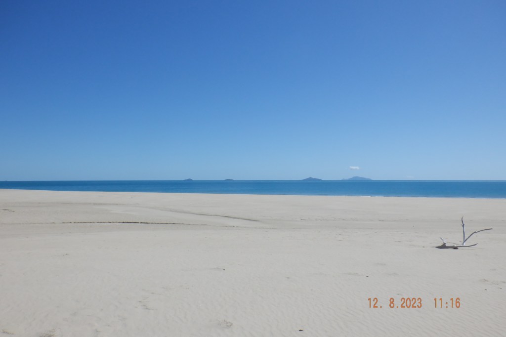
Anchoring in great beach situation we have a sit on the beach in the sun as it was not hot. Had a bit to eat enjoying the view I spot a sand bar appearing on the dropping tide just offshore. That I had completely missed on the charts preplanning. Tinonee Bank about 1.5klm long running SE – NW about a kilometer off the beach.
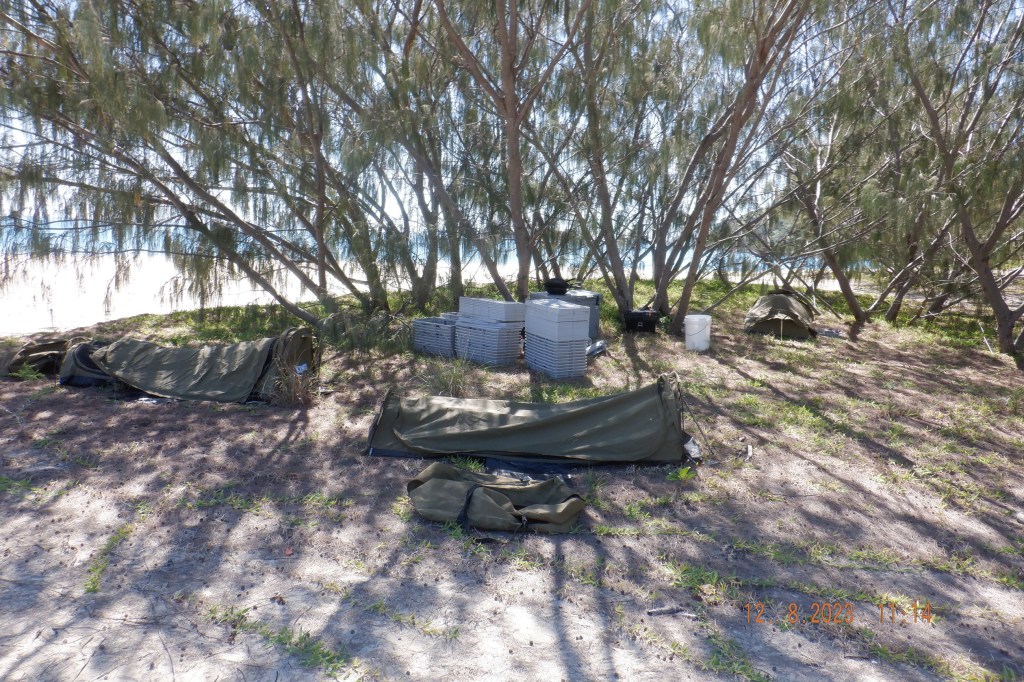
Went for a walk up the beach looking for possible waterhole and come across this camp of 3 swags, large esky, cooking utensils and many crates with lids ? We had seen a boat leaving as we arrived lucky buggers.
Some great drone work supplied by Mornê that really put some perspective to it.
Great beach with blue water looking north towards Knight then Prudhoe the larger 2 Islands to the right.
Lunch with a view at Curlew.

Moving into our run home we skim by Waratah Island a large long rock no easy landing then on to Knight Island on flattish water. Where we had our last stop before the stretch back to Hay Pt of 45klms.
Run home wasn’t as good as we closed the mainland but wasn’t bad. Boat ramp was usable but not good on that tide level 1.4M at about 2.45pm. We must have the worst boat ramps in Australia mainly due to the tide levels. Had of we got back 1.40pm tide would of been at 2M. That 600mm would of made it a bit better.
Great day on the water whales in abundance crew and skis returning safe and sound. Majestic area requiring closer attention. Thanks to Duane for this 34 minute video. Thanks team.

Gday George , hope alls well . We met briefly at Mackay marina in September, ( I had the Macgregor ) we then met again a few days later on the southern side of Shaw Is . You and a few of your jet pals were doing some drone footage and I was wondering if you have a copy I could get as I haven’t been able to find it on your site . I would be fantastic to view our little boat from the air in such a beautiful part of the world. Regards Gaz
Hey Gary, i am sorry not sure what happened now just didnt get around to doing blog on that trip as i said I would. Here is a link to Mornes drone work parts of the whale section was used on our local news https://www.youtube.com/watch?v=XhgDE74QWTw Hope it works thanks for getting back to me. Hope you and yachty mates enjoyed our back yard.
Hey Gary, Have you seen my last comment
Hey Gary, have you seen my comment ?