8.00 21/06/20 High tide 1040 4.35m Lee, Kawasaki. Peter, Seadoo GTR 300 super charged
Am writing this at a later time and some details may be a bit vague.
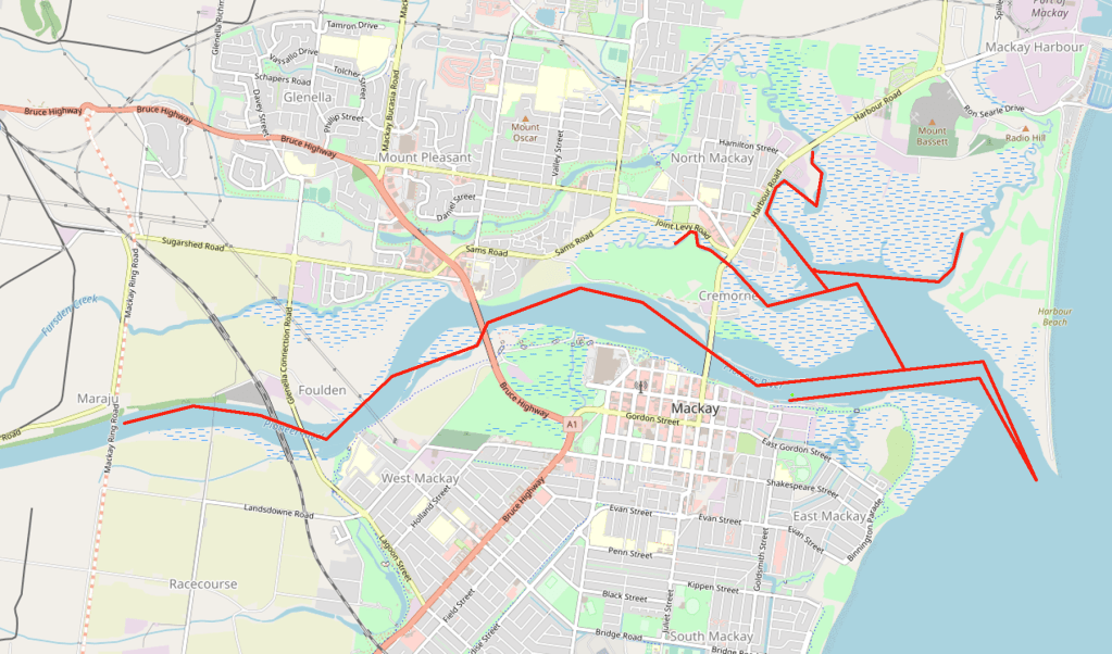
We had a quick look out the mouth probably to kill a bit of time to allow the tide to rise. Then up river under Forgan Bridge to Ron Camm Bridge were there is a mass of rock That would be unsalable at lower tides and dangerous, basically kept to the left southern side of river like up against the shore. Felt our way further with Lee leading with his depth sounder, at walking pace. Past the hospital, under the bridge Glenella Connection Rd and turned around just before the new Ring Rd Bridge, not open yet.
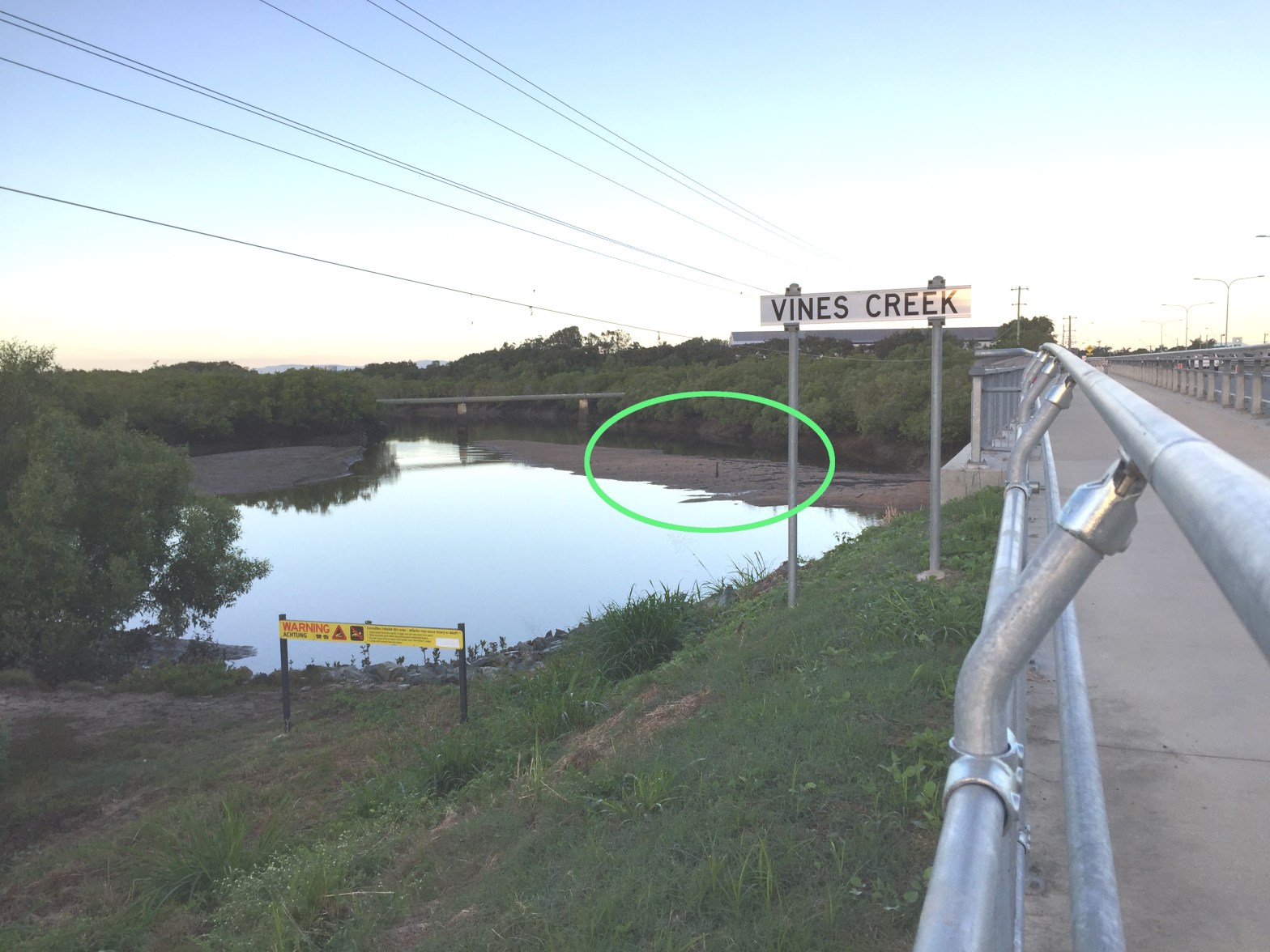
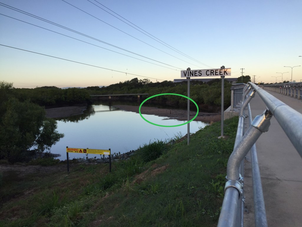
Back towards the mouth and into the Estuary that took us into Barnes Ck under the bridge and as far as the Mangroves would allow, under 1k. Vines Ck our next mission, made way past the Boat yard, along side Harbour Rd then among the mangroves again to Vines Ck Bridge.
Here we find hidden Dangers, idling along near the Vines Ck bridge Peter spotted a Vertical rail line below the surface.

This may help put into perspective to its location.

Good work.